Memphis International Airport
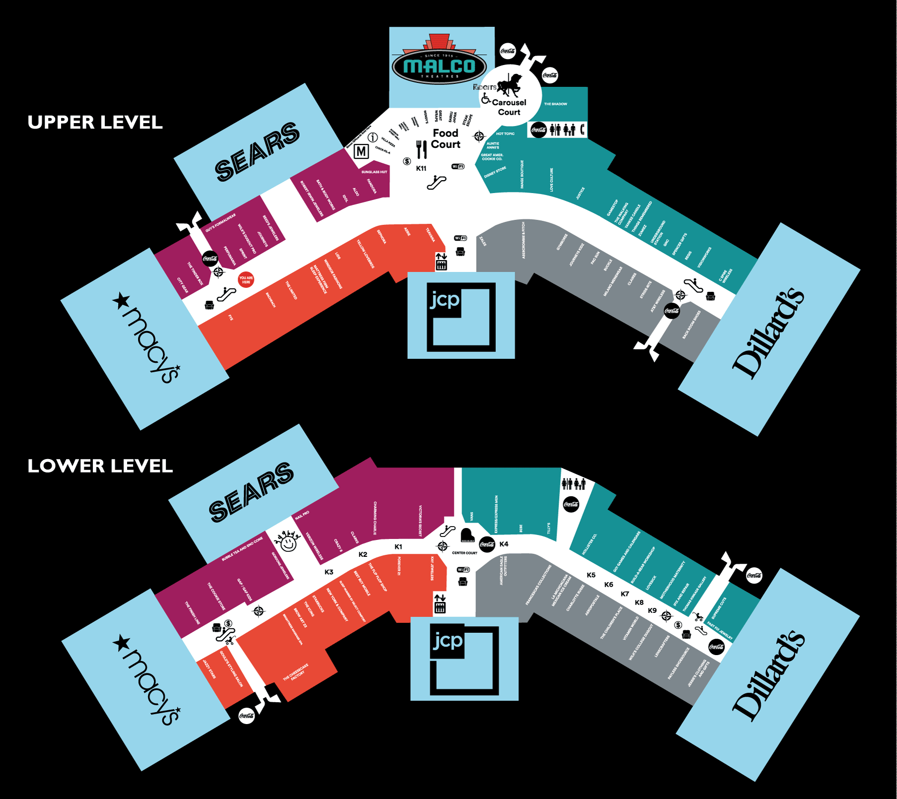
Wolfchase Mall - Memphis, TN
Metro Atlanta Rapid Transit
Washington Metro
FedEx Forum - Memphis, TN
Naga City School
Assignment: Think about your school. How could you create a simple map to organize the space to help people orient themselves and find their way? Use Google Drawings to create a simple map using lines, shapes and colors to help visitors find their way. Organize the classrooms by subject using color. Assign specific colors to the administrative and recreational portions of the building. Mark places of interest such as restrooms, and entry/exit doors. Place the map on an 8.5x11" page. Title the file School Map and place the map in a shared folder titled Map Project. Turn in this project by the end of class.


No comments:
Post a Comment